
Description
BlueChart® G3 marine charts:
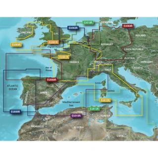
Coverage, accuracy and level of detail thanks to new maps incorporating the best of Garmin and Navionics® content
Autoguidance function1 automatically calculates the best route to take to reach your destination based on your boat's size Depth shading function to identify all zones of the same depth at a glance (up to 10 zones maximum)
Bathymetric curves displayed every 30 cm for easy interpretation of the bottom profile
Shallow water shading function allows the user to set the depth of the water at a glance
Bathymetric curves displayed every 30 cm for easy interpretation of the bottom profile
Bathymetric curves displayed every 30 cm for easy interpretation of the bottom profile
Shallow water shading function allows the user to set the depth of the water at a glance Enjoy unrivalled coverage and detail when you're out on the water. Thanks to Garmin and Navionics content, BlueChart® g3 charts offer unrivalled coverage, accuracy and detail.
Autoguidance
Fishing, cruising or any other water activity, simply select your destination and let the autoguidance function calculate the best route to take based on your boat's size, to get you where you need to be, while avoiding obstacles to navigation1.
Autoguidance
Depth shading
Allows areas of identical depth to be highlighted in colour, so you can identify all areas of the same depth at a glance (up to a maximum of 10 areas).
Depth shading
Shallow shading
Highlights shoals to avoid (user-selectable depth).
Shoal shading
Detailed bathymetric curves
BlueChart g3 charts include bathymetric curves represented every 30 cm for a more accurate representation of bottom structure. They also provide detailed fishing maps.
Hotline Garmin: 01.55.69.33.99 (toll-free)