
Description
BlueChart® G3 Vision Marine Cartography:
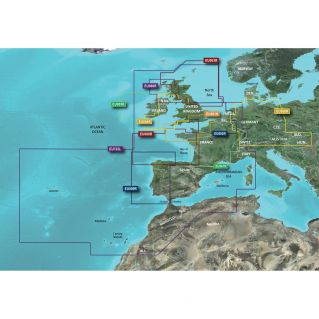
Detailed maps
Unparalleled coverage, accuracy and level of detail with new maps featuring the best Garmin and Navionics® content
Autoguidance1 automatically calculates the best route to your destination based on your boat template
Depth shading function to identify all areas of the same depth at a glance (up to 10 zones max)
Bathymetric curves shown every 30 cm for easy interpretation of the bottom profile
Shoal shading feature allows the user to highlight areas of shallow depth to avoid
Enjoy unparalleled coverage and level of detail while out on the water. With Garmin and Navionics content, BlueChart® g3 Vision cards offer unmatched coverage, accuracy and level of detail.
Auto Guidance: Fishing, cruising or other nautical activity, simply select your destination and let the autoguiding function calculate the best route to follow depending on the size of your boat, to get you to port, while avoiding obstacles to navigation.
Shadow Depth: Allows you to colour the same depth areas to identify all areas of the same depth at a glance (up to 10 zones).
Shoal shading: Allows highlighting the shoals to avoid (customizable depth).
Detailed Bathymetric Curves: BlueChart g3 charts include bathymetric curves every 30 cm for a more accurate representation of the bottom structure. They also allow you to enjoy detailed fishing maps.
High Resolution Satellite Images: Overlay high resolution satellite images with navigation data to get a very realistic view of the surroundings. This is the most realistic display you can find on a plotter and will help you navigate areas you do not know.
FishEye view: This underwater 3D perspective view displays a three-dimensional representation of everything that happens beneath the surface. Sonar echoes allow you to enjoy a personalized view.
MarinerEye view: This view provides a three-dimensional representation of the surrounding environment both above and below the waterline of the boat.
Aerial photos: Enjoy high-resolution harbour and marina aerial images to help you find your way to a place you do not know.
Garmin Hotline: 01.55.69.33.99 (non-premium call)