
Description
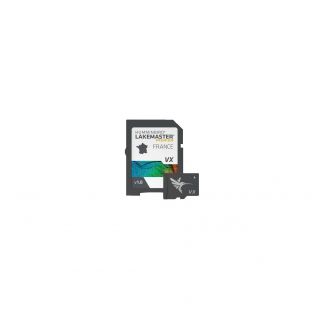
Inland water mapping, French lakes. Humminbird's Lake Master charts are at the cutting edge of accuracy with unrivalled detail. From the easy-to-read contours to the highlighted depth ranges and scrolling list of lakes, you'll have the ultimate tool for making the most of your time on the water. You'll never miss a fish again! List of available lakes: Salagou (aerial view) / Orient (aerial view) / Hourtin / Lacanau / Sanguinet / Biscarosse / Pareloup (aerial view) / Esparon (aerial view) / Serre- ponçon (aerial view) / Grangent (aerial view) / Villerest (aerial view) / Bourget / Leman / Vouglans (aerial view) / Plobsheim (aerial view) / Vassiviere (aerial view)
-Apex compatible, Solix and Helix G3/G4
-High-definition detail
-Adjustable highlight areas
-I-Pilot Link compatible
-Aerial imagery
-Depth highlighting
-Micro SD card + SD adaptor
-Apex compatible, Solix and Helix G3/G4
-High-definition detail
-Adjustable highlight areas
-I-Pilot Link compatible
-Aerial imagery
-Depth highlighting
-Micro SD card + SD adaptor
Technical characteristics
| Product Brand | Humminbird |
|---|