Description
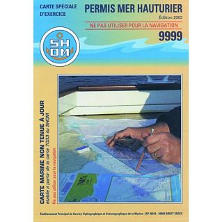
This 9999 nautical chart is the official chart for taking the theory test for the offshore maritime licence, or for doing preparatory exercises. It is available folded to A4 format (30 x 21 cm), or flat to A0 format (138 x 84 cm) for rolling.
The chart is published by SHOM, the French Navy's Hydrographic and Oceanographic Service. It is a real nautical chart with a latitude and longitude scale. You can use it to practise plotting headings using the navigation ruler, and to measure distances travelled after setting down positions. The deep-sea licence chart shows currents, landmarks, soundings, beacons, lighthouses and other important navigational clues.
It is advisable to buy two charts so that you can use one to practise at home or on a school boat and the other for the day of the exam.
Please note that it is only used to take the licence, and cannot be used for navigation.
The deep-sea licence allows you to sail more than 6 miles from a shelter, whatever the size and power of your engine. There are two ways of obtaining it:
- Without any licence
You have to pass a general theory test, a theoretical navigation test with map reading and a simple practical test.
- With a coastal licence
You have to pass a theoretical navigation test with questions and navigational exercises on the high seas, without a practical test.